Photos of Western Friesland, the Netherlands

Western Friesland
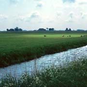
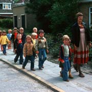
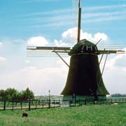
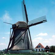
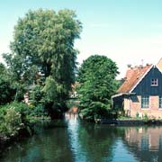
Western Fryslân is a land of wide vistas, meadows crisscrossed by small canals draining the surplus water and larger ones that double as convenient roads for the many boating enthusiasts that live here or come as visitors. There are quiet and picturesque villages and old churches, some on top of "terpen", the artificial hills dating from the middle ages, when the Frisians constructed these to escape to when the land was flooded during storms; this was before dykes were constructed.
you may then send it as a postcard if you wish.
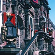
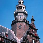
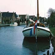
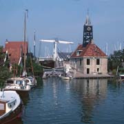

Bolsward (Boalsert in Frisian) is a city of almost 10,000 and used to be a port in the Middle Ages, on the Middelzee, a body of water that connected it to the North Sea; this ceased when the Middelzee was reclaimed. It had received city rights in 1455 and was even a member of the Hanseatic League. A good example of past glory is its Stadhuis, City Hall, the finest Renaissance building in Friesland; it was built between 1614 and 1617. About 18 kilometres southwest of there, on the coast, is the small but very picturesque village of Hindeloopen; between 1650 and 1790 it was a prosperous city when it had a fleet of over 80 ships and was also a member of the Hanseatic League; it now has about 700 inhabitants and its own dialect, quite different from standard Frisian; the town's name in Hindelooper Frisian is “Hielpen”.
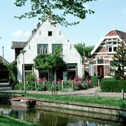
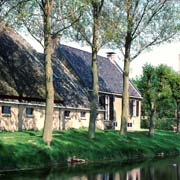
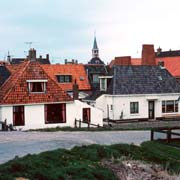
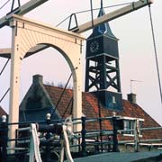
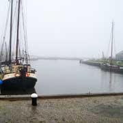
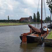
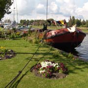
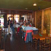
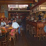
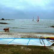
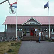
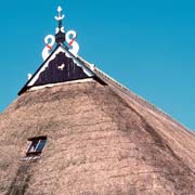
About 11 kilometres south from there is Stavoren, now a village of just 1,000 inhabitants, but once a wealthy port city that began to decline in the late Middle Ages after a sandbank formed outside the harbour, blocking ships from entering and exiting. It now is a popular destination for tourists with boats, sailing the IJsselmeer and has an excellent and very popular café restaurant, Café Max, along the waterfront at Schans; it is named after the proprietor, a long term resident, has great food and often features live bands on weekends. The south coast, east from Stavoren, is Gaasterland, with its typical farmhouses, decorated with an "uilenbord", a carved and brightly painted board that is part of the ridge of the thatched roofs of farmhouses and barns.